Urban Land Planning and Management using 3D Cadaster and Digital Twins
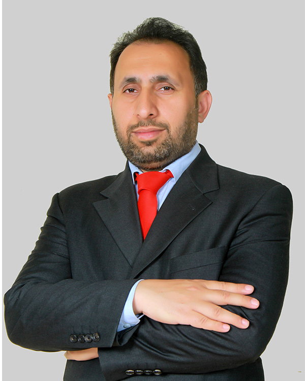
Mr. Abdul Wahid holds an MS in Remote Sensing & GIS and has over 14 years of experience with the Planning & Development Department, Government of AJK. He has contributed to the development of geospatial datasets, GIS-based decision support systems and research in AI and deep learning applications for land cover mapping
He will explore how advanced geospatial technologies, including 3D cadaster, digital twins, GIS and AI analytics, are transforming urban planning, land administration and sustainable development